Loop from Vegas de sotres, Prao Cortes - Pico Cortes - La Morra - El Jierru
Difficulty: Hard
Trail: 1067 m Sotres Vegas - Prao Cortes : 2288 m - Pico Cortes : 2373 m - Horcada el Jierro : 2193m - Morra Lechugales : 2444m - Pica Jierru : 2422 m - Sotres Vegas : 1037 m
Time : about 10 hours
This circular route around the Morra Lechugales is much longer than the *normal route and only coincides with it in the last section of the ascent. Although the route is not very exposed, it can become really dangerous because of the fog and the absence of marked paths in some parts of the route.
* The Morra Lechugales (2.444 m ) is the highest peak in the Eastern Part of the Picos de Europa (Andara) . The normal route of ascent starts at the Jito of Escarandi passes the Andara Hut, and reaches the base of the mountain without remarkable difficulty by a marked path. The climb to the peak is common to both routes and includes a short climb of about 5 meters , although a small rope has been attached to protect the ascension this mountain has already witnessed several accidents, some fatal.
This is the proposed route, as seen from the Central Massif of Picos de Europa.

NORMAL ROUTE: In Blue PROPOSED ROUTE; In Red
We dropped the car at las vegas de sotres,
Continue along the track until a fork near a big stone. In red, the route we have to follow to the top.
When the gully finishes, head south towards the summit of the Prao Cortes.
Our next goals: Pico Cortes and La Morra

Down there: Potes and La Liebana
We retrace our steps to the pass, and follow a red and white marking path that leads us Northward,
Later on, we found some yellow markings that were directed upwards, directly to the peak Cortes.
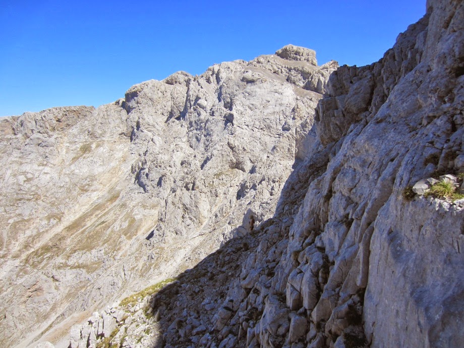
From the summit, we see the path we will take to reach the Morra.

From the summit, we see some cairns that lead us down the North Gully of Cortes Peak.

Be careful not to throw stones and also not go down too much.

As a reference, at a certain point we will give sight to the Morra, that's the time to turn to the East. (There are cairns and traces of path)

This is not our descent route
The collada del hierro, (Iron Pass)
This part is hard to explain since there are hardly traces.
From the pass, we follow a path eastward some 100 meters, then we find some cairns that leads up and then dissapeared. We continue along through scree although not difficult to walk.
Finally we gave view to La Morra de Lechugales.
This is the hardest part (There's a rope, but I'd recommend not to trust too much on it)

The route we've been following
The gully as seen from the top.
We join the normal climbing route for a while and at a point we head to the easy summit of Pica del Jierru. From the top of El Jierru we began the descent, towards the green meadow we see in the picture.
We kept going down and down....
Jidiello Gully


No comments:
Post a Comment